 These Saugerties bike routes, which you can download, print and use as a guide (and which are beginning to be added to Google Maps*), were the brain-child of the late Gil Hales and Mike Harkavy, two Saugerties notables who thought bike paths would enhance our Village and Town and who went out and made it happen, with a big photography assist from photographers Joy Moore and Barbara Bravo.
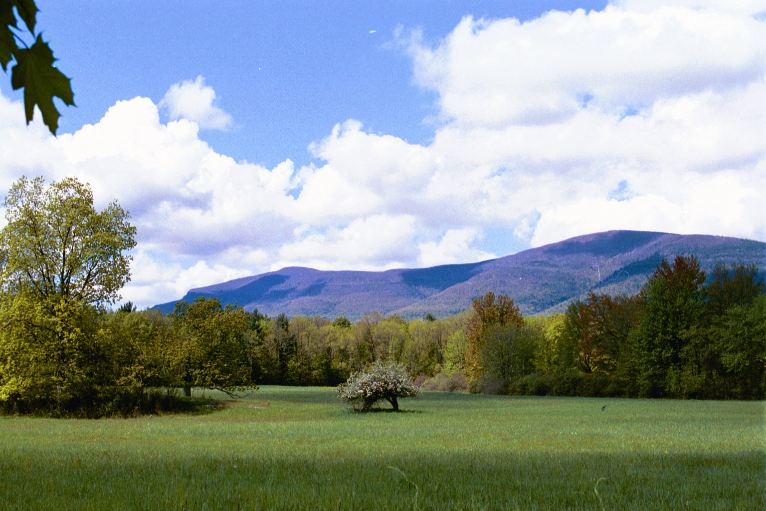
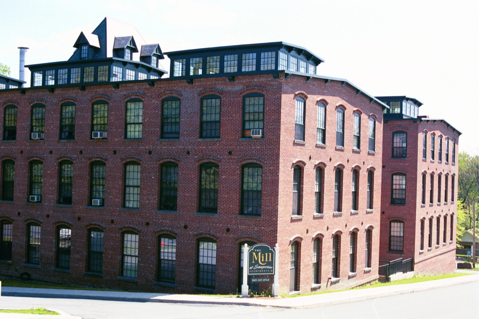
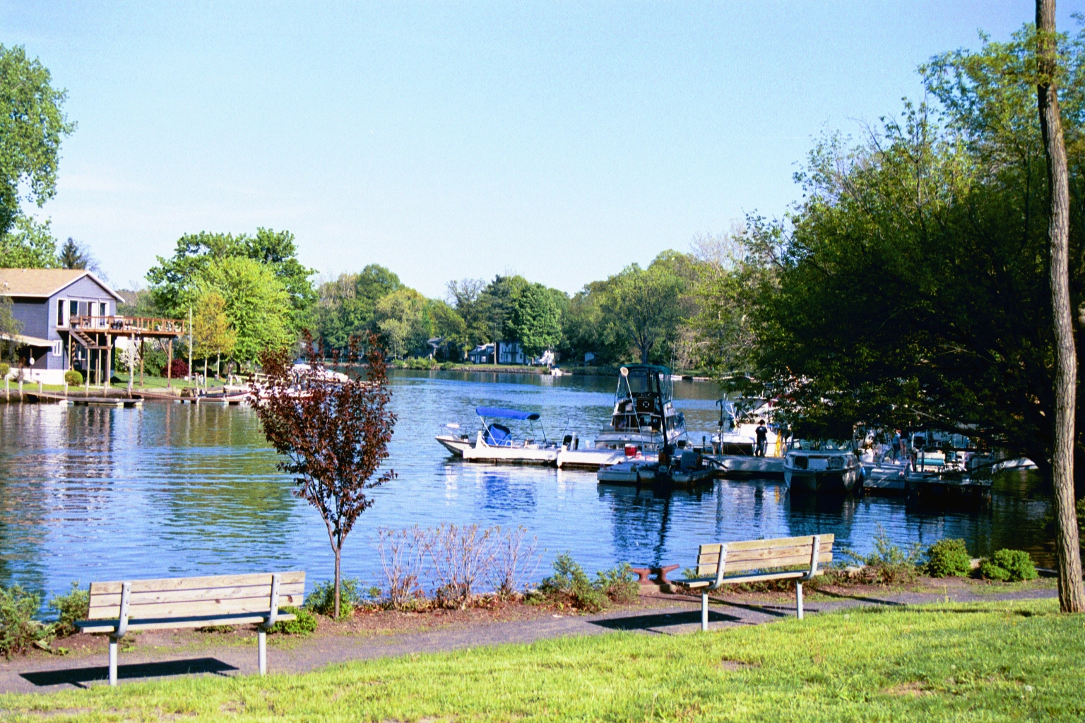
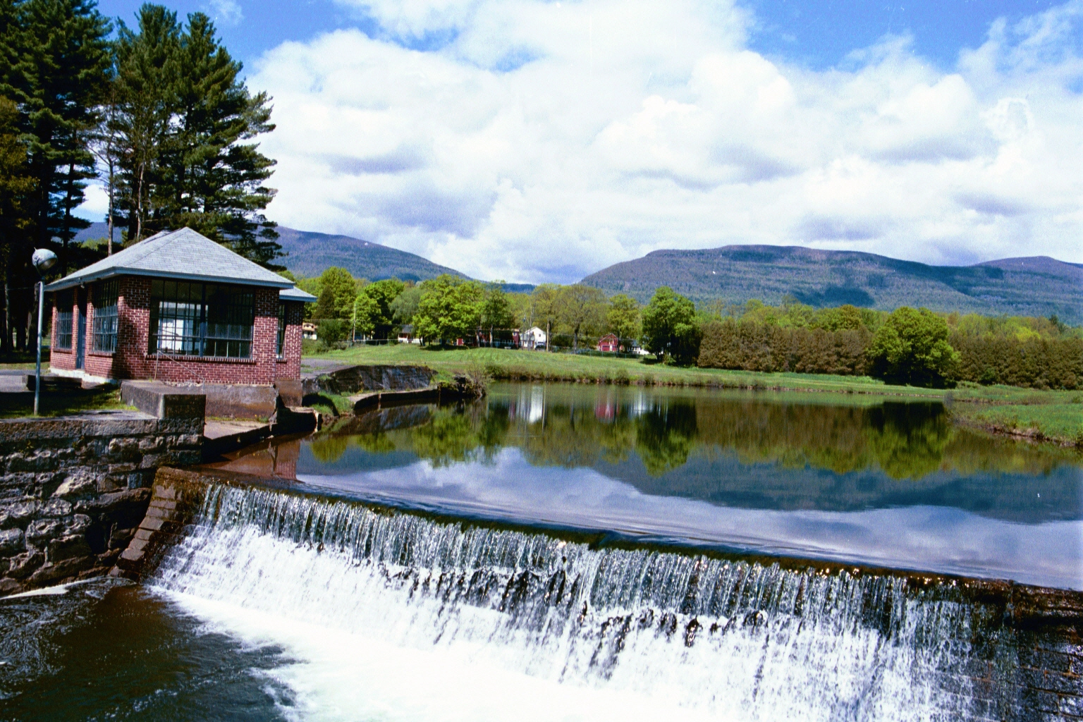
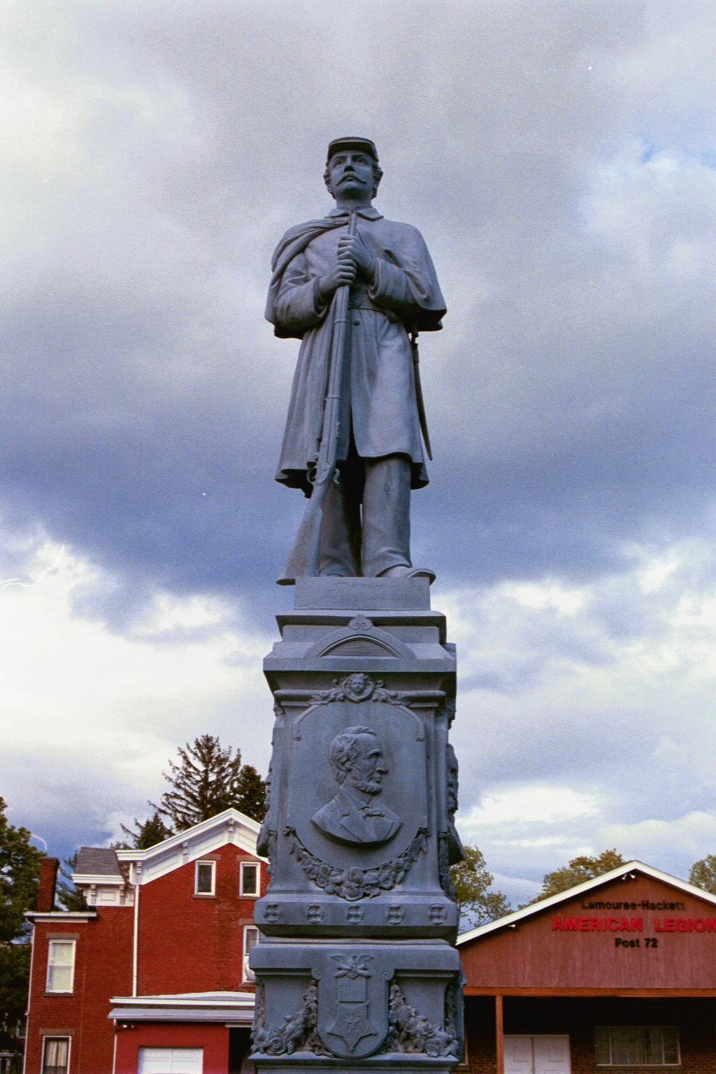
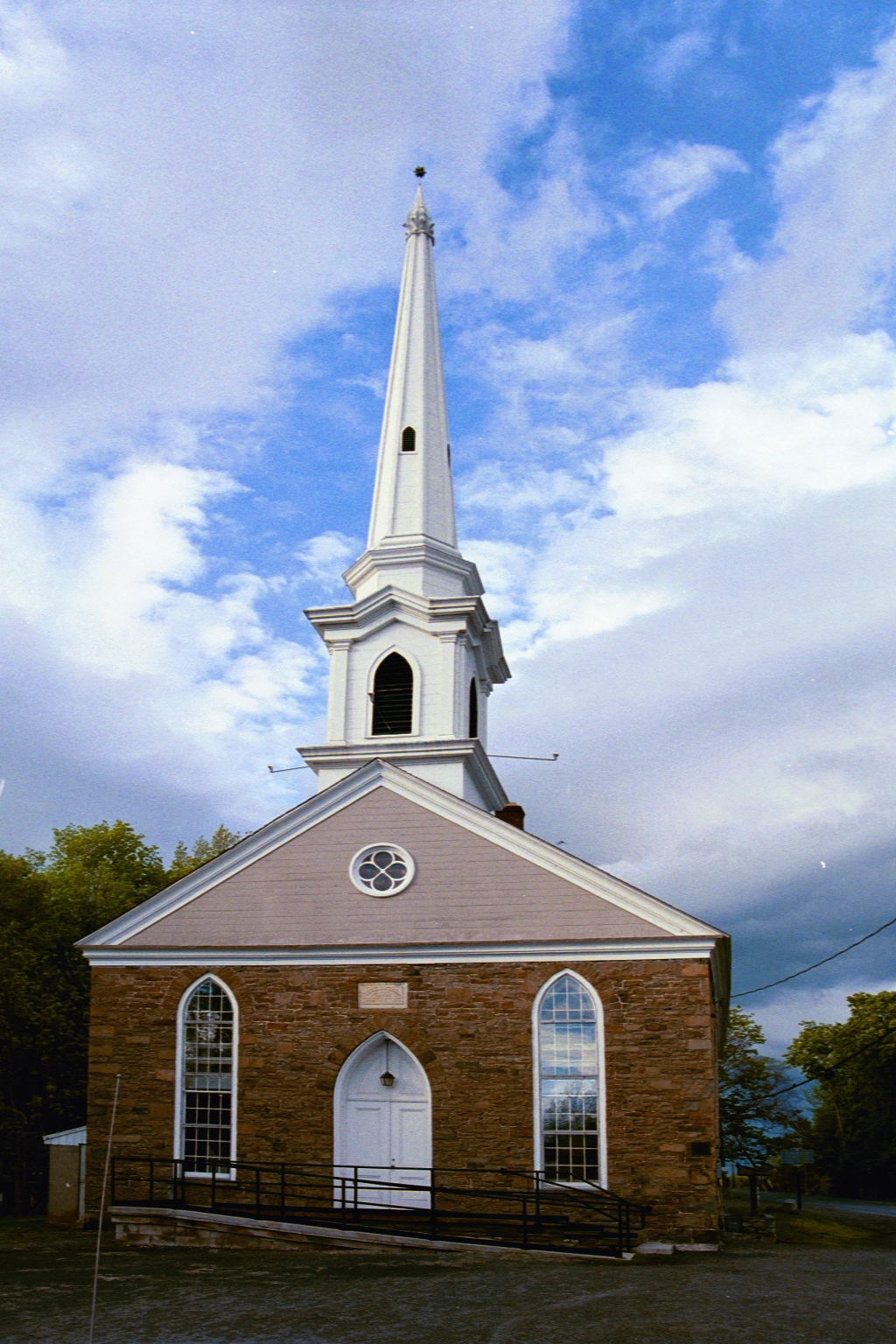
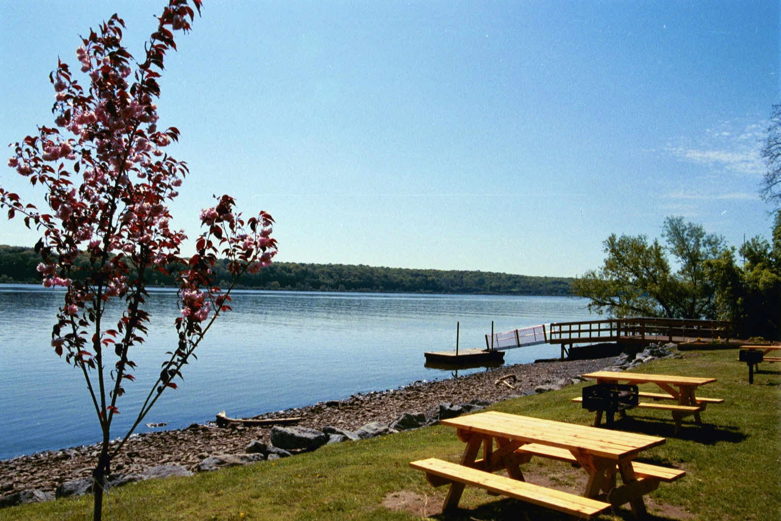
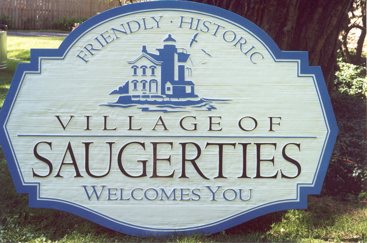
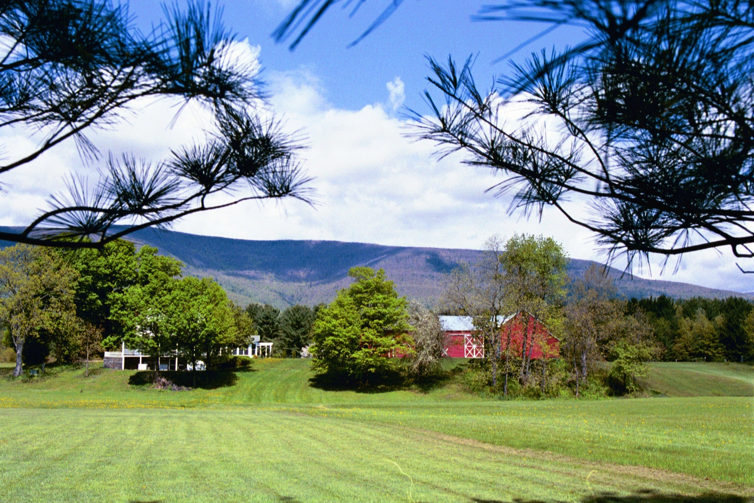
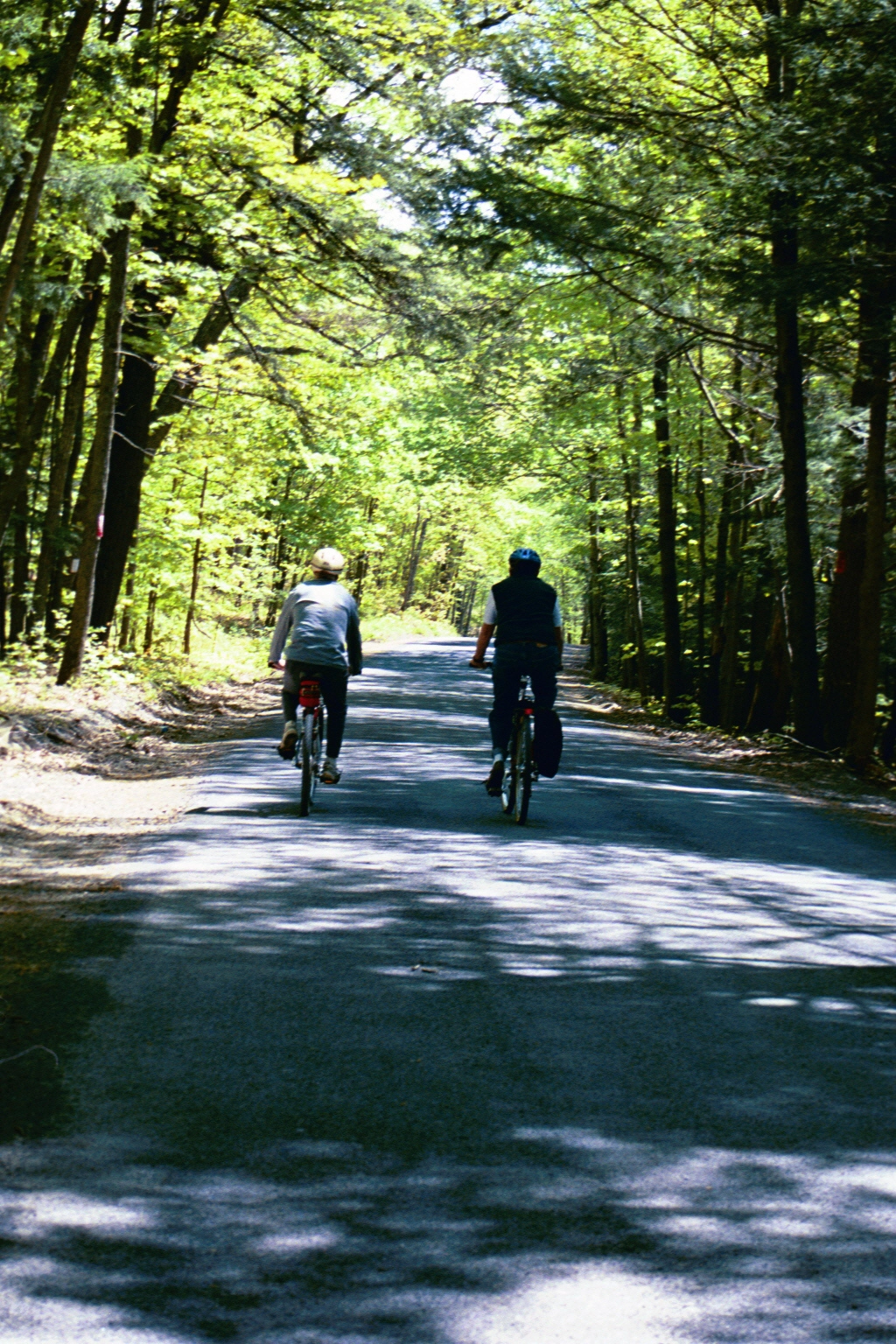
Besides the obvious health benefits of biking along these or any other paths, a bonus that comes from these Saugerties paths is that they take advantage of Saugerties' scenic beauty and rich heritage. The routes include views of the Hudson River, Esopus Creek, serene marshlands, and outstanding views of the Catskill Mountains.
From this very page, you can download and print the 4 panels (PDF files) that make up the flyer, under "Documents" below.
Also in the "Documents" section is a map showing where bike racks are located (although frankly, in the course of time, some of these bike racks may be "among the missing").
And under "Images" below, you can see a sampling of the many scenes you'll encounter on a ride along the Saugerties Bike Routes. (The photo upper right, taken by Joy Moore, shows Gil Hales and Mike Harkavy, in the days of mapping this all out.)
Documents:
- Bike Route Flyer (1 of 4) - Cover-page panel.
- Bike Route Flyer (2 of 4) - Bike Route A
- Bike Route Flyer (3 of 4) - Maps of Routes B and C.
- Bike Route Flyer (4 of 4) - Information about Routes B and C.
- Saugerties Bike Rack Locations - This is a 1-page map of where you can park and chain your bike while you tour around Saugerties. (We'll have to get out there ourselves one of these days, to see if these bike racks are still where we're saying they are. If you want to report on their status please feel free to use the "Contact Us - For Website Matters" page info/form. (Look for the form with the green header.)
*Saugerties Bike Routes Being Added to Google Maps
Bike Route A ("Historic Village Bike Route" -- 6.13 miles -- has been added to Google Maps. To see this route on a Google Maps page, please click here: https://maps.app.goo.gl/ffv4x4b7WdfRCC5f9
We'll be adding Bike Routes B and C in the near future.